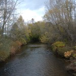
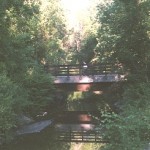
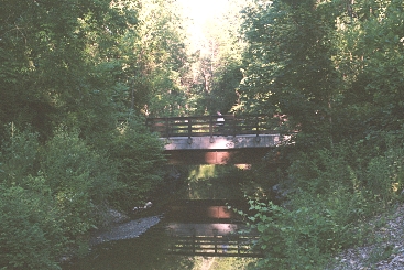
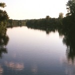
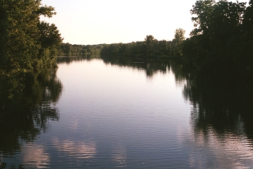
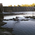
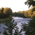
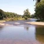
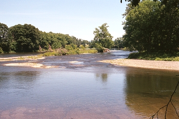
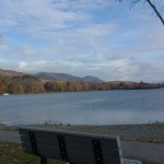
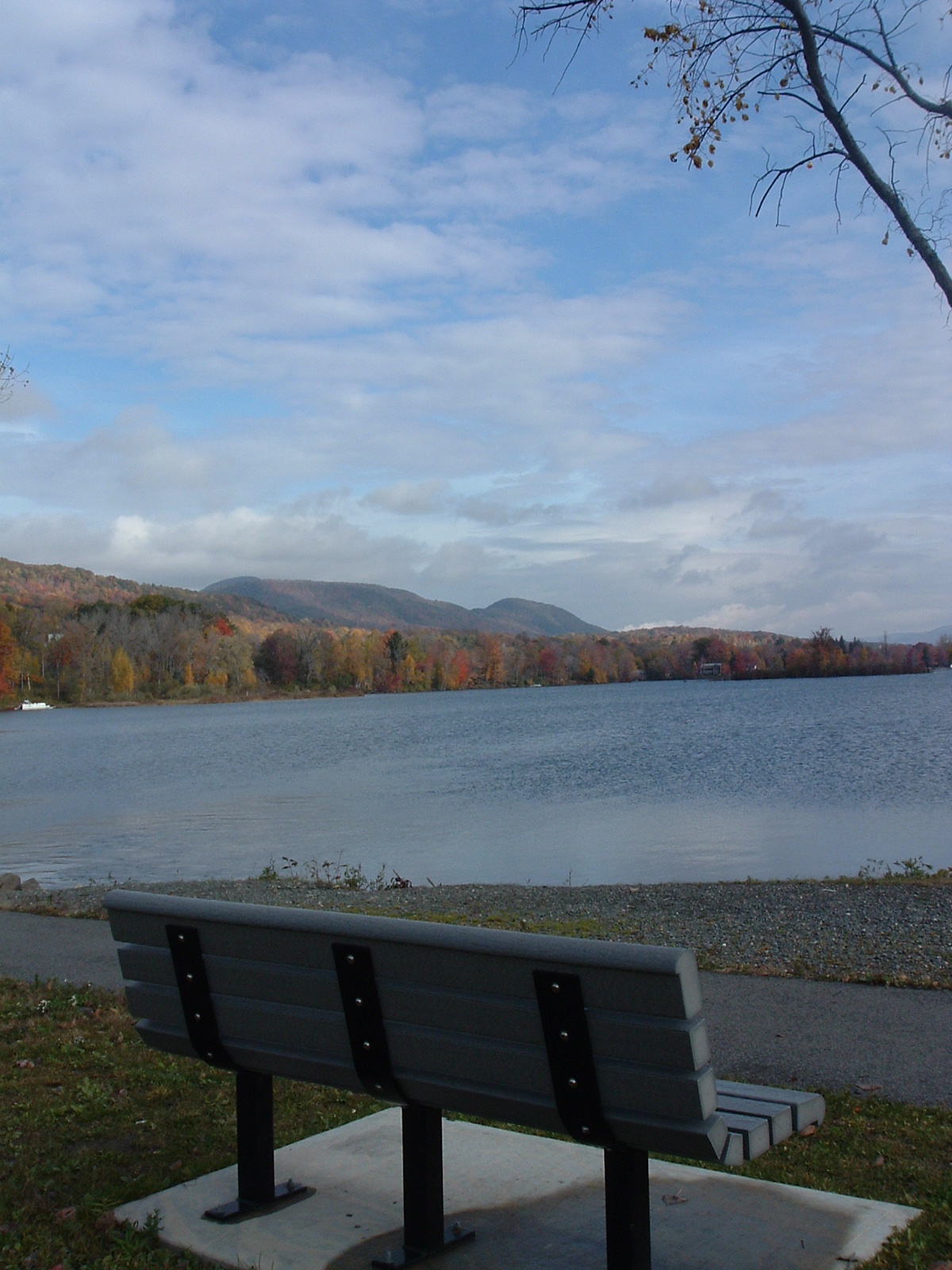
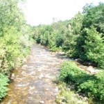
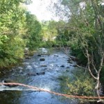
The following is a collection of photos taken of the Hoosic in Massachusetts and Vermont.
New York
-
- South Branch in Adams, at Hodges Crossing

-
- South Branch in Adams, at the Ashuwillticook Trail
-
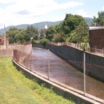
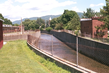
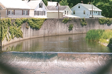
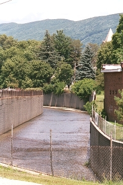
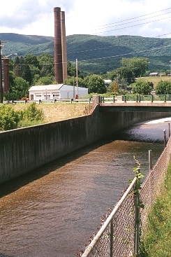
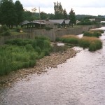
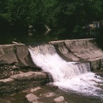
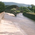
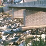
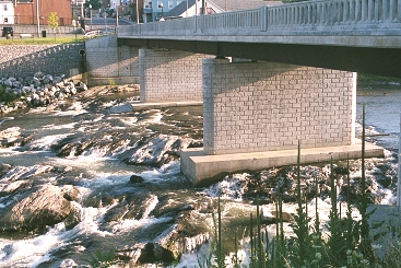
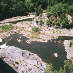
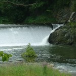
- Adams Flood Chutes
-
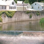
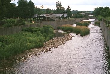
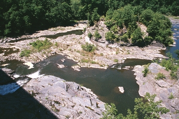
- Adams Flood Chutes
-
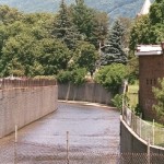
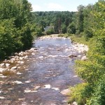
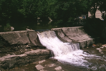
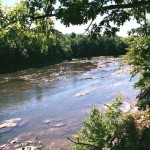
- Adams Flood Chutes
-

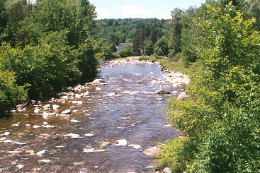
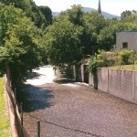
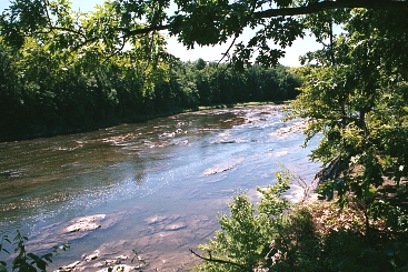
- Adams Flood Chutes
-
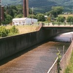
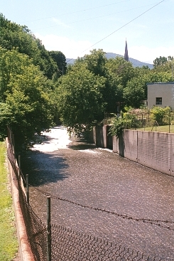
- Adams Flood Chutes
-
- Adams Flood Chutes
-
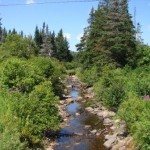
- North Branch, Green Mountains
-
- North Branch
-
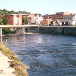
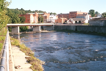
- North Branch in North Adams
-
- North Branch in North Adams
-
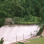
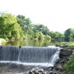
- North Branch roll dam in North Adams

-
- Confluence of North and South Branches in North Adams

-
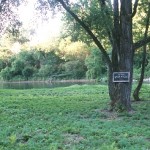
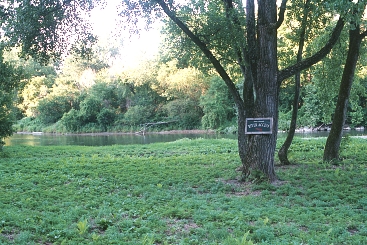
- The Rock Cut access area in Hoosick
-
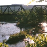
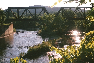
- Pan Am Railways Bridge, Hoosick Falls
-
- Hoosick Falls flood chutes
-
- A set of falls at Hoosick Falls
-
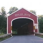
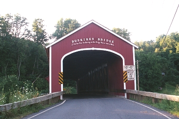
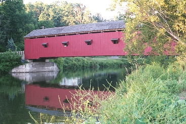
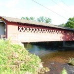
- Buskirks Covered Bridge
-
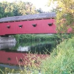
- Buskirks Covered Bridge
-
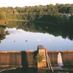
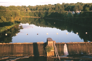
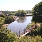
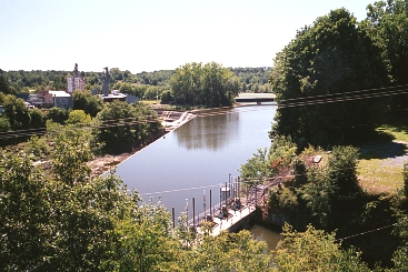
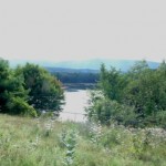
- Impoundment behind Johnsonville dam in Buskirk
-
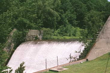
- Johnsonville Dam

-
- Nearing Valley Falls

-
- James Thompson Hydroelectric dam, Valley Falls
-
- Schaghticoke Dam
-
- Shachticoke gorge, the “great gorge”
-
- Upstream of Lock 4 State Park
-
- Approaching Lock 4 State Park
-
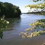
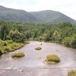
- Hudson River and Lock 4 at Stillwater

-
- Farnam’s Road, Chesire Reservoir
-
- The “Jungle” near the Cheshire Reservoir on the South Branch

Vermont
-
- Appalachian/Long Trail crossing of City Stream, Woodford
-
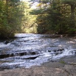
- Bedrock in South Stream, Bennington
-
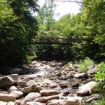
- Roaring Branch, Bennington, at the “Brooklyn Bridge”
-
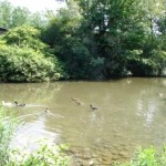
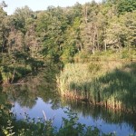
- The Duck Pond off Furnace Brook, Bennington
-
- Historic trolly crossing, Walloomsac River, Bennington
-
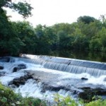
- One of two dams at Paper Mill Village on the Walloomsac River, Bennington
-
- The return of the Paper Mill bypass to the main stem Walloomsac River, Bennington
-
- Henry covered bridge on the Walloomsac River, Bennington
-
- One of several dams on Paran Creek, North Bennington
-
- Lake Paran, North Bennington
-
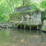
- Tannery dam, North Pownal
-
- Wetland along City Stream, Woodford