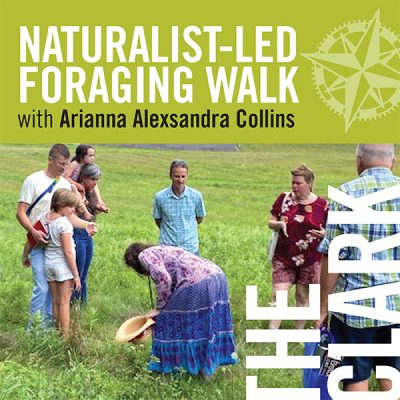
Wild Edibles Walk-About at The Clark in June
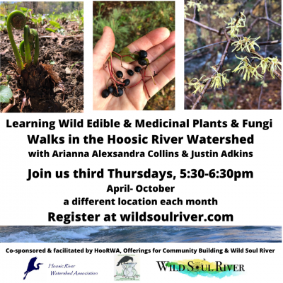
Learning About Wild Edibles in the Watershed in October
Learning About Wild Edibles in the Watershed in September
Learning About Wild Edibles in the Watershed in August
- « Previous Page
- 1
- …
- 4
- 5
- 6
- 7
- 8
- Next Page »