The River
Eagles along the Hoosic
Meet the Hoosic
The Natural Community
The Watershed
Virtual Tour
About Us
Strategic Plan
History
Volunteers
Recreation
Biking the Hoosic
Hiking the Hoosic Watershed
Paddling the Hoosic
Fishing In the Hoosic
River Flow Info
Education
Classes And Programs
Issues/Concerns
Videos
Advocacy
Reducing NPS Pollution
Remediation Projects
Restoring and Protecting Habitat
River and Trail Access
Sound Land Use
Calendar
Join/Renew/Donate
Blog
Hoosic River Watershed Association
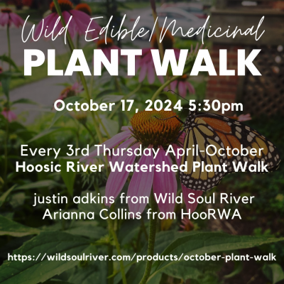
Wild Edible and Medicinal Plant Walk
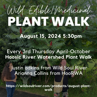
Wild Edible and Medicinal Plant Walk
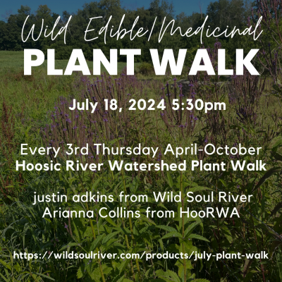
Wild Edible and Medicinal Plant Walk
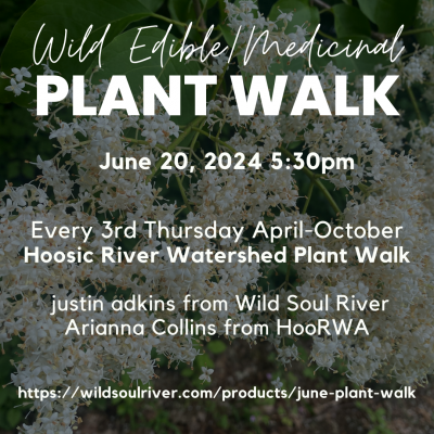
Wild Edible and Medicinal Plant Walk
Wild Edible and Medicinal Plant Walk
1
2
3
Next Page »